City Texture in Manhattan Island and Amsterdam

Gengkui Liu

Many people are fascinated by the texture of a city: the highways, rails, streets and avenues are woven to build a huge network. This network is the lifeblood of the city, and it transports people and stories through the history.

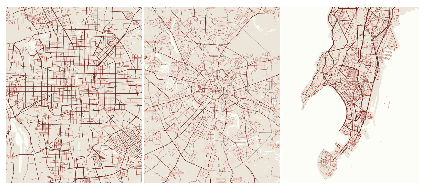
Different cities have different styles in the road network planning. The first map from the left shows roads in Beijing, China. The roads are concentric and right-angled. In the middle is the roads in Moscow, Russia. Concentric and circular. The last map shows roads in Mumbai, India. The roads develop organically along the coast.

This difference in the city's texture can be very interesting: why the roads look like what they are?

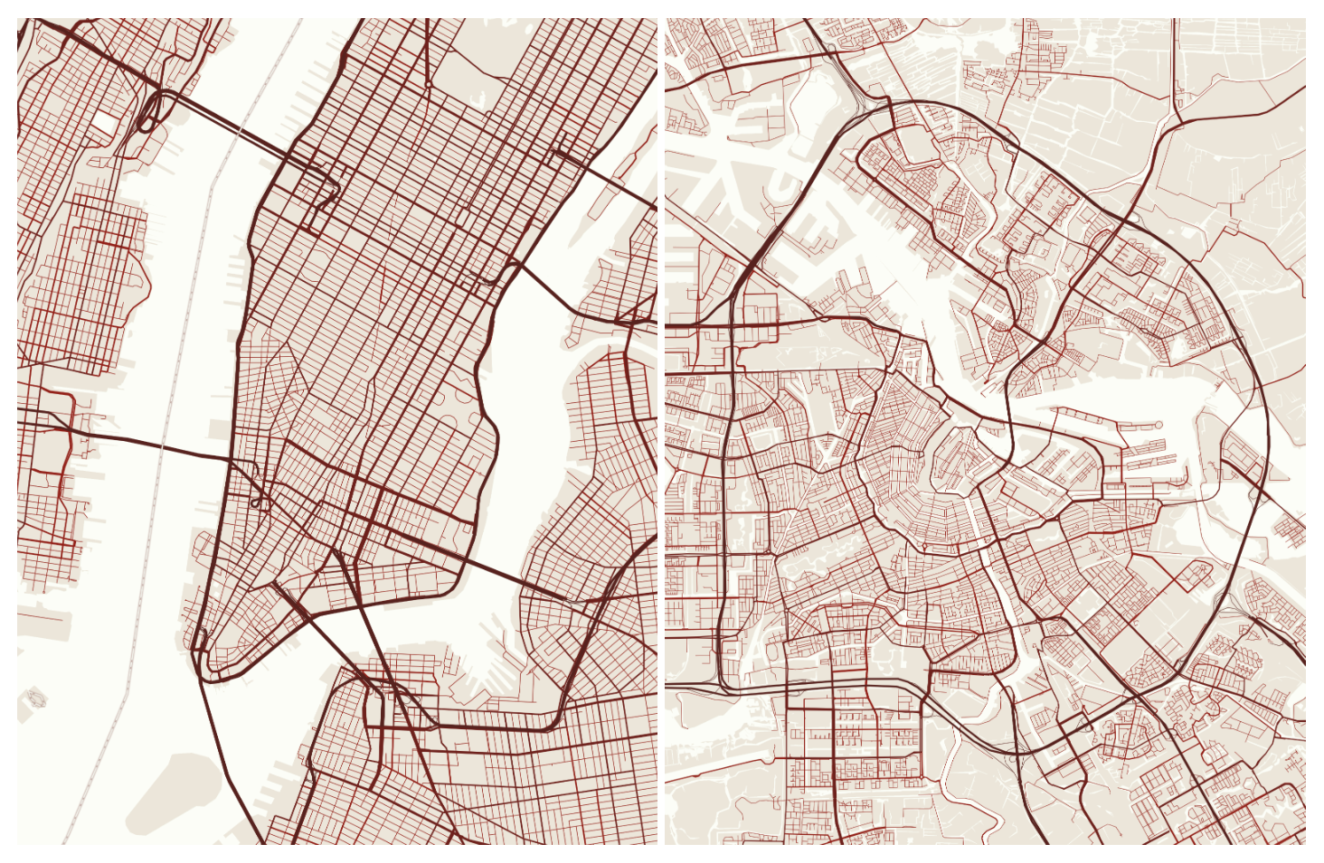
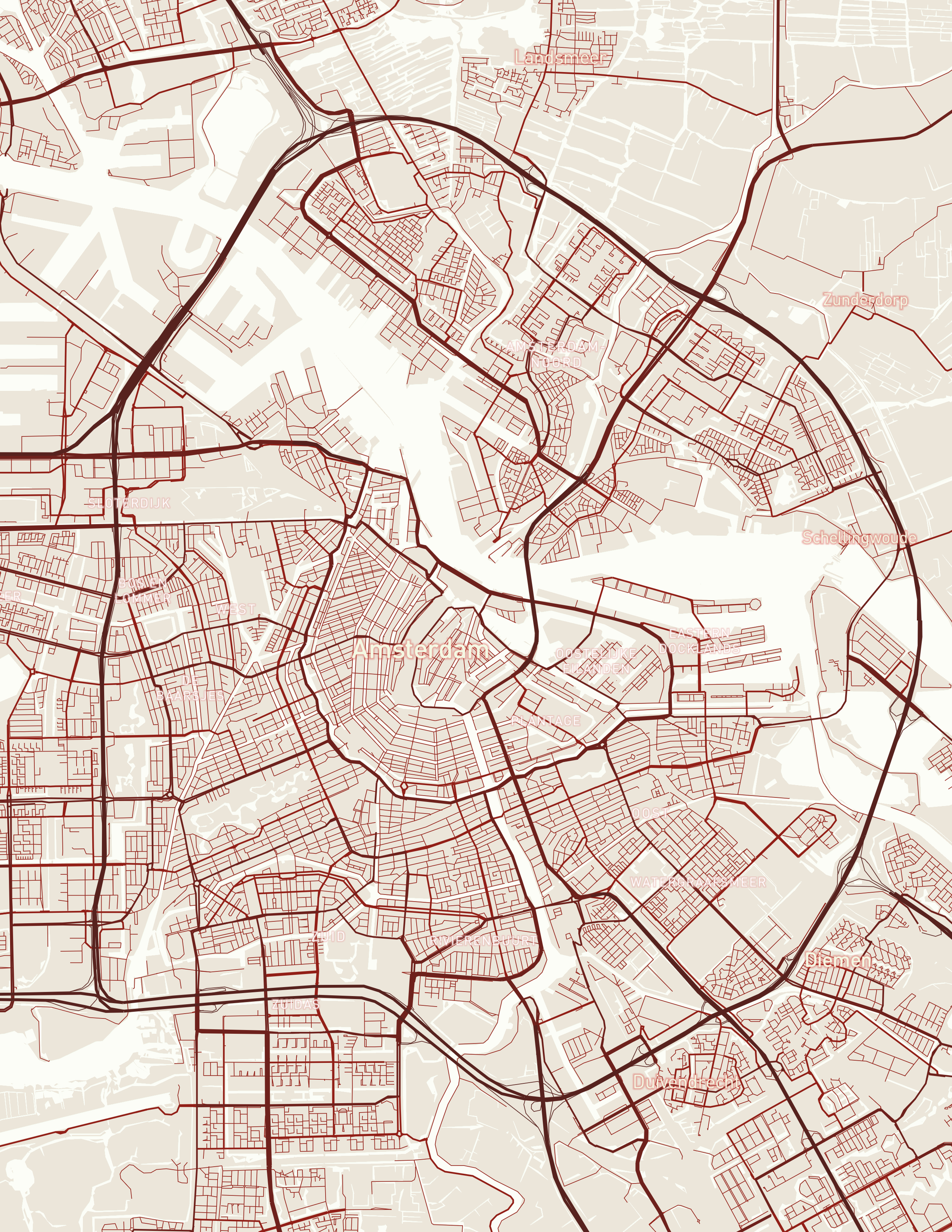
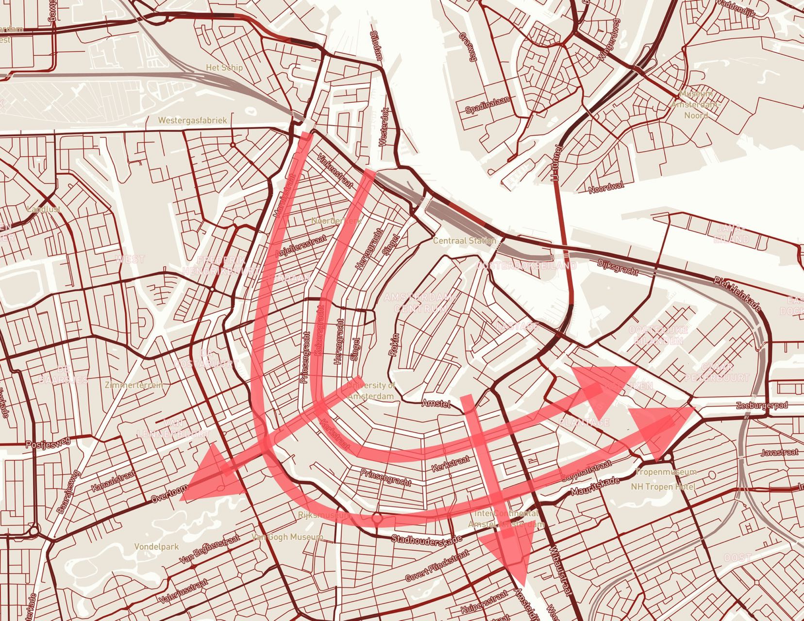
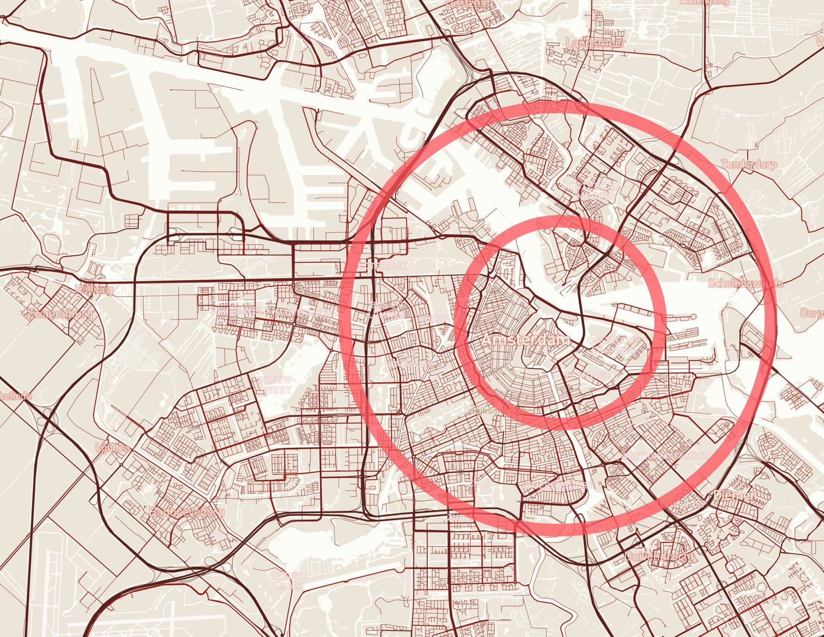
Maybe New York County in the U.S, and Amsterdam in Netherlands can be compared, and hopefully figure out why the road networks look as they are.

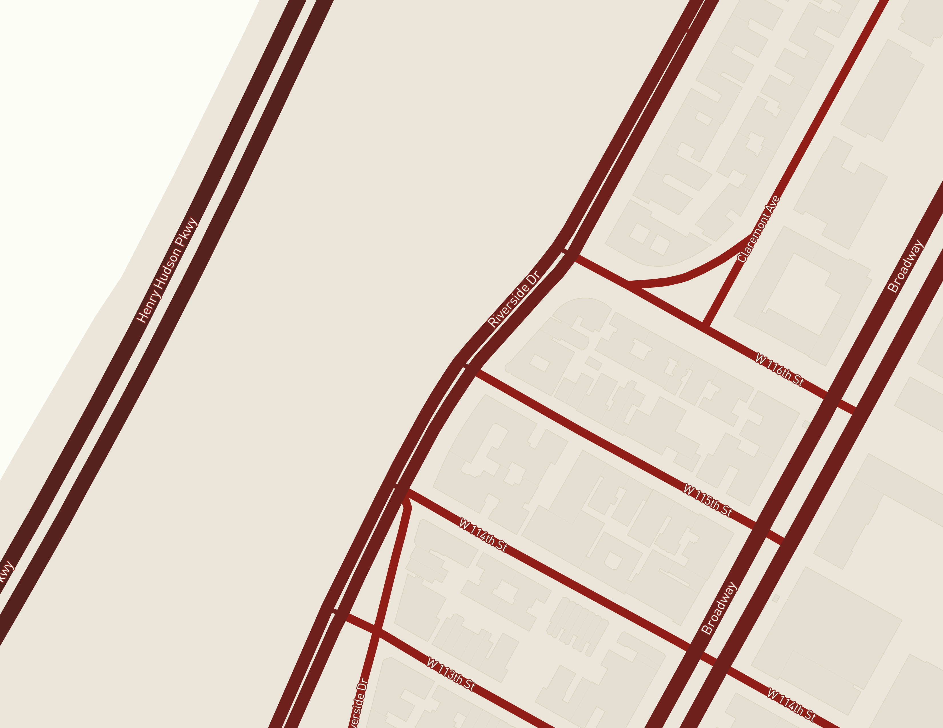
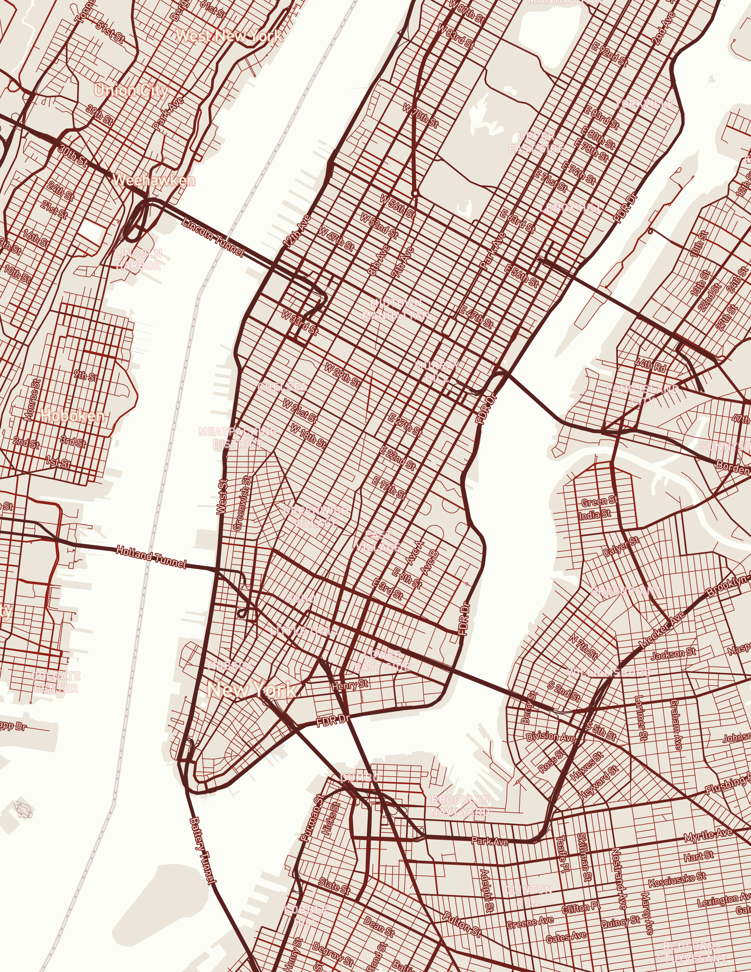
New York County on Manhattan Island has area of 87.0 km2. The most distinctive feature on Manhattan Island is the grid system that was planned in 1811. This grid system described the earliest look of the roads on Manhattan Island: Avenues are parallel to the shorelines; streets are perpendicular to the avenues. The avenues tilt to the northeast, with a deviation from true north to 29 degrees.

"The Grid defines a new balance between control and de-control in which the city can be at the same time ordered and fluid, a metropolis of rigid chaos."


—— Rem Koolhaas, 1978

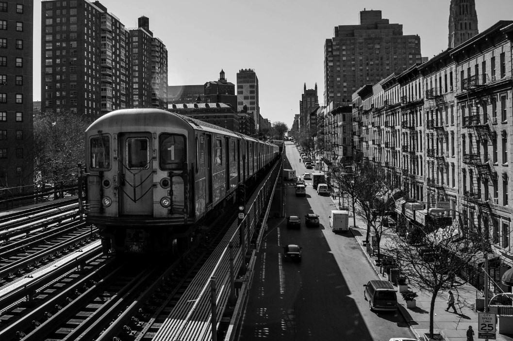
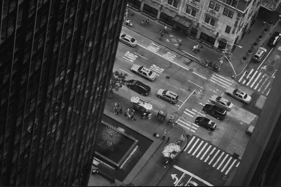
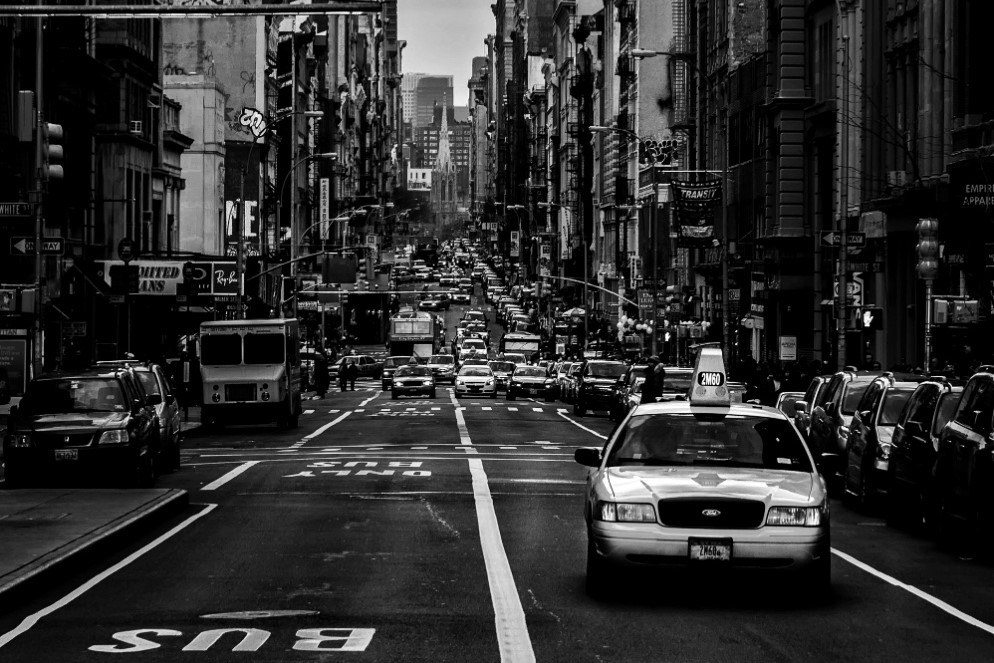
This is how roads look like in New York City. Streets and avenues are too long to see the end. The city is segmented by skyscrapers. And skyscrappers are surrounded by cars, buses, and trains.


There are three reasons why roads on Manhattan Island looks like a grid:

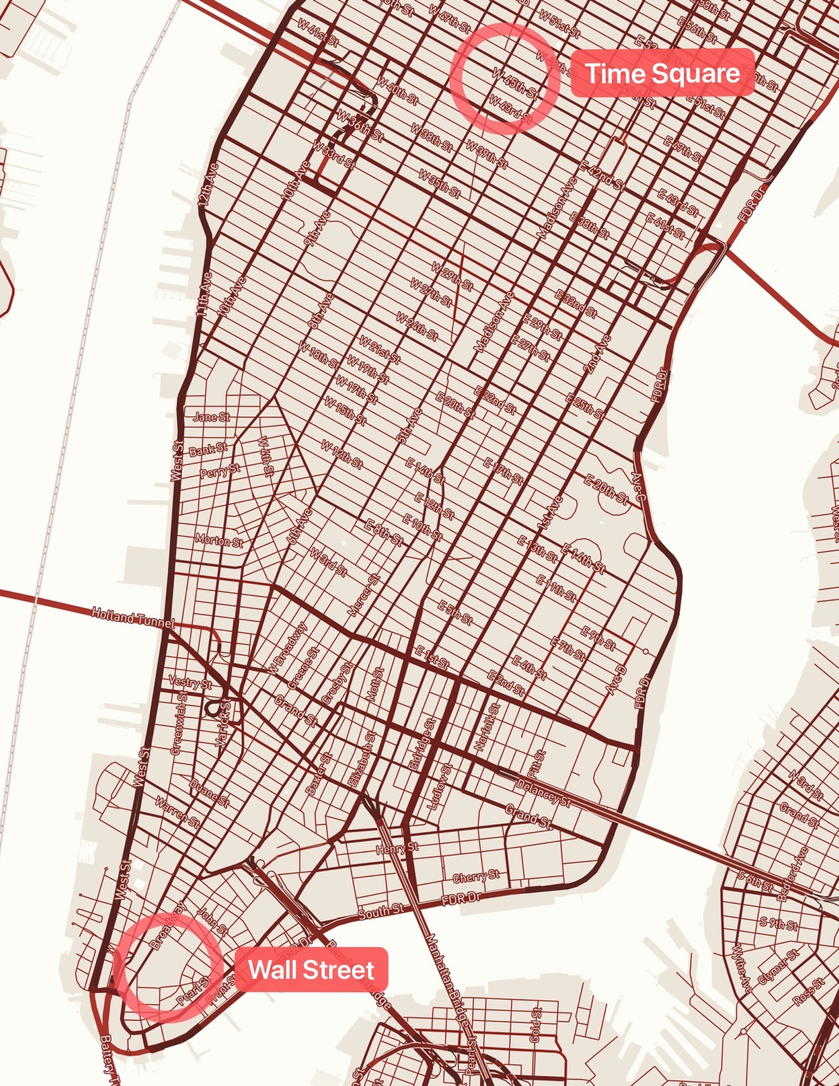
• This right-angeled road network aligns well with this narrow, rectangular shape of the island. People would feel easy to navigate through the city.

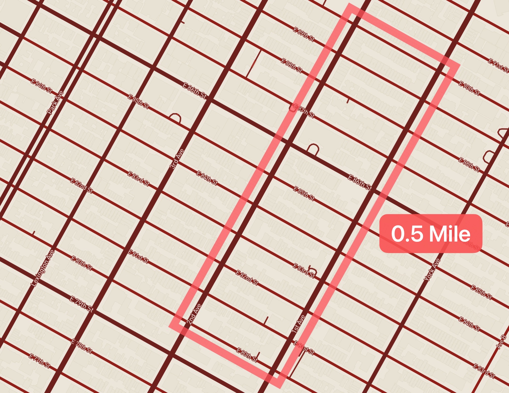
• The distances between blocks are roughly the same, which allow pedestrains to calculate travel time with simple rules of thumb: twenty blocks to a mile, one block a minute.

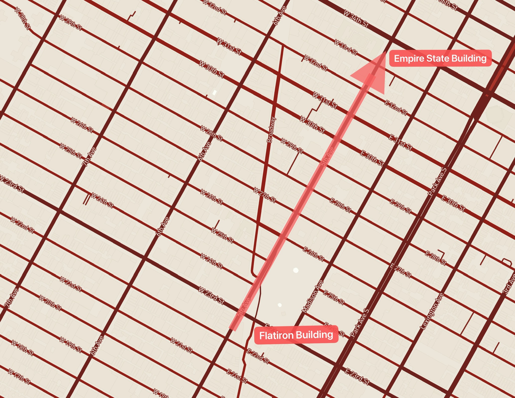
• Places are connected by straight roads, which saves time and money to build.

This right-angeled road network aligns well with this narrow, rectangular shape of the island. People would feel easy to navigate through the city.

The distances between blocks are roughly the same, which allow pedestrains to calculate travel time with simple rules of thumb: twenty blocks to a mile, one block a minute. If a person walked from 80th street to 90th street, he would pass by 10 blocks, and the estimated distance is 0.5 miles

This grid system was designated to connect places by straight roads, so the distance between two places would be the shortest. This actually saved time and money for builders to construct the roads.

"Manhattan has no center … If you asked a New Yorker for directions to ‘the center of town,’ he would be bewildered."


—— James Traub, 2011

Many European cities may have concentric, radiating road network system around the city center. But this type of road network may not be suitable for Manhattan. This is because Manhattan can have multiple "city centers". Tourists may think Time Square is the city center; traders may feel the Wall Street is the city center. If a concentric and radiating road system was implemented rather than the grid system, there might be huge congestions and passengers might easily get lost.

Amsterdam is a unique port city in the Netherlands. With more than 26% of Dutch territory lies below the sea level, Amsterdam serves as a great example of flood management. A full 25% of the city's surface still consists of navigable waterways. With 65 miles of ancient canals, Amsterdam is still the most watery city in the world. And the road network planning in this city is deeply affected by the water management.

This is how roads look like in Amsterdam. You can rarely find a long straight road here; the majority of roads are curved along the canals and pretty narrow. Very friendly to cyclists, but not convenient for drivers —— at least in downtown Amsterdam.


There are three reasons why roads in Amsterdam looks like concentric circles:

• The roads have to align with the concentric canals in the city for flood management purpose.

• Residents and merchants living along the concentric roads and canals could effectively receive goods from the city center.

• Concentric roads can relief the traffic.

The Hollands have been building a lot of canals to remove excess water during the flood, and to pump in sea water to clean the waterways. These canals were constructed in a concentric circles layout around the center of Amsterdam. Some radiating canals interconnected with the concentric canals to form a fan shape. Water can easily circulate through the city in these circular waterways. The road network, as a result, has to align with the canal layout.

In addition, as a major port city, Amsterdam receives huge quantities of trading goods from the world every day. The concentric and radiating roads (and canals of course) can efficiently transport and distribute goods from the city center to the residents everywhere in the city.

From the traffic perspective, the concentric ring roads around the center of Amsterdam is an alternate route for vehicles (cars, bycicles, etc.) that do not need to stop in the city core. This road network design help relief the congestion in downtown Amsterdam.

The Dutch government once attempted to transform Amsterdam into a car-centric metropolis just like New York City. This attempt is called Plan Jokinen.

In the plan, canals would be filled to create highways and parking areas, and these highways and parking areas would grab space from the surrounding neighborhoods. The highway system would connect high office towers in downtown Amsterdam with suburban residential units, like a classic work style in North America.

However, Plan Jokinen failed. Mainly because the oil crisis in 1970s forced the Dutch government to save gas. In addition, a lot of children lost their lives in car accidents, and their parents put fierce protests to stop this plan.

By comparing Amsterdam and New York County on Manhattan Island, the texture of a city depends on multiple factors like history, environment, geography, etc. The city needs to find the best suitable approach to develop, and the road network is a great reflection of such development.

Play around the full map.


Credits:

Map created with Mapbox Studio

Data from openstreetmap